A poster worthy of your outing.
Your best ride, run or hike deserves better than a screenshot. Adret makes it a poster: your track, your stats, your name on it, ready to post the same evening. No watermark, no account.


On a computer? Scan to open Adret on your phone.
Free to try. No account, no watermark.
From any app
Garmin, Wahoo, Suunto, Coros, Polar, Strava, Komoot.
No account
A file, not a login. Nothing you have to connect, nothing to revoke.
No watermark
Nothing is laid over the map. The adret.studio line comes off with one switch, free.
Sized for social
A story, or a post in portrait or landscape, ready in seconds.
Yours won’t look like anyone else’s.
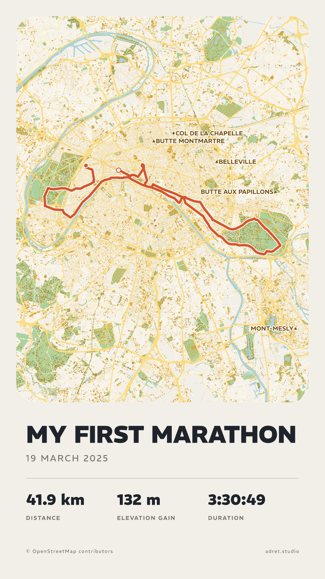
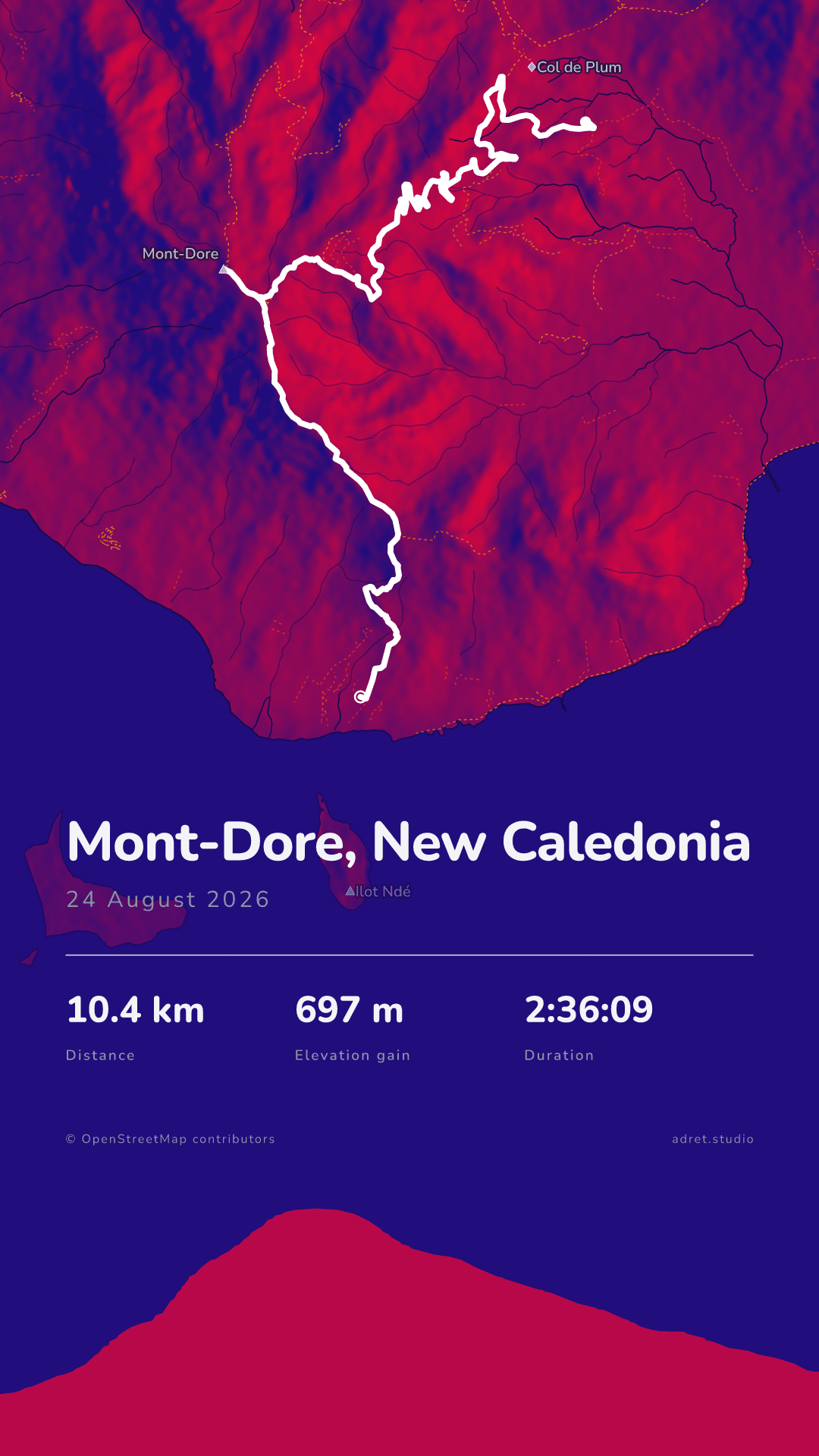
The screenshot from your sports app looks like everyone else’s. An Adret poster is drawn for your route: the mountains take on volume, the streets find their place, and the title is set for your track.
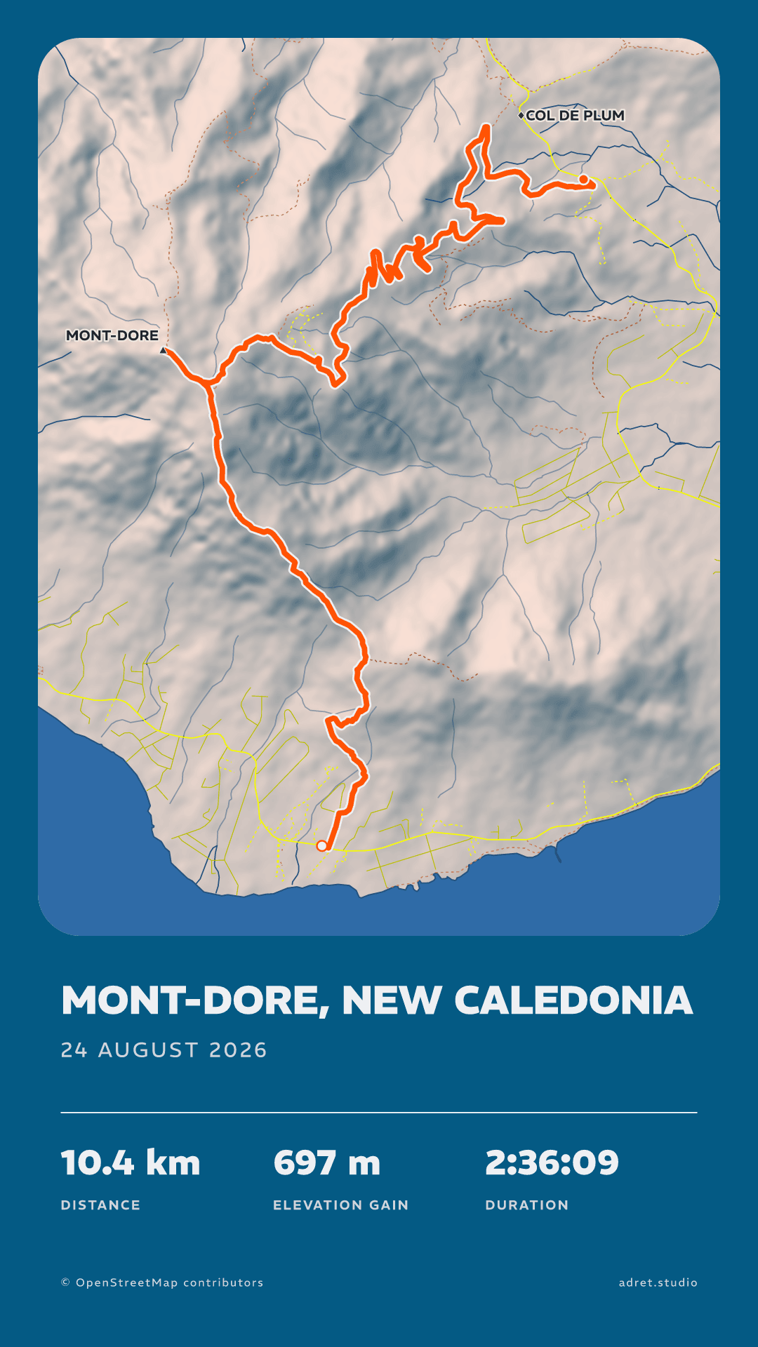
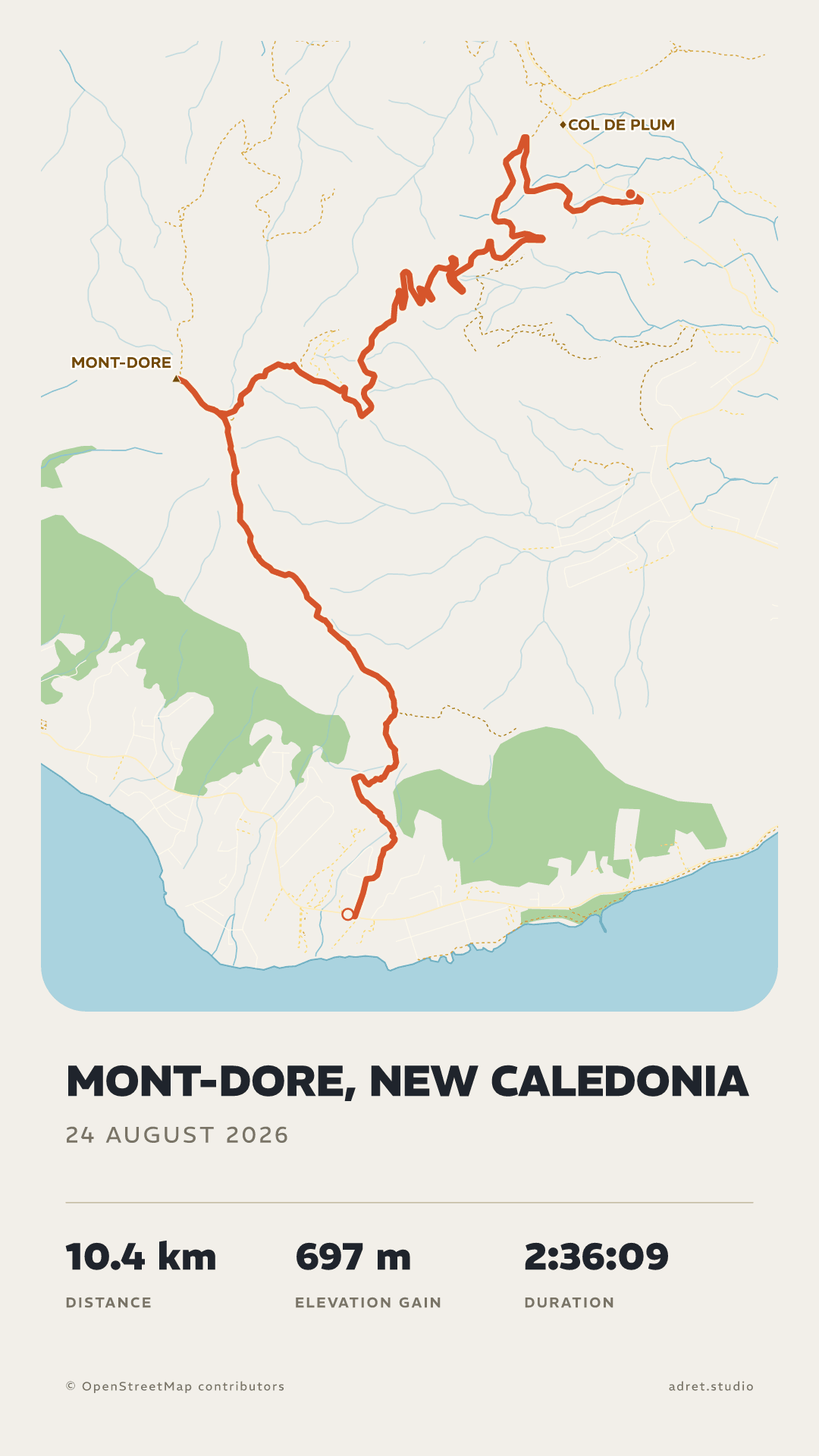
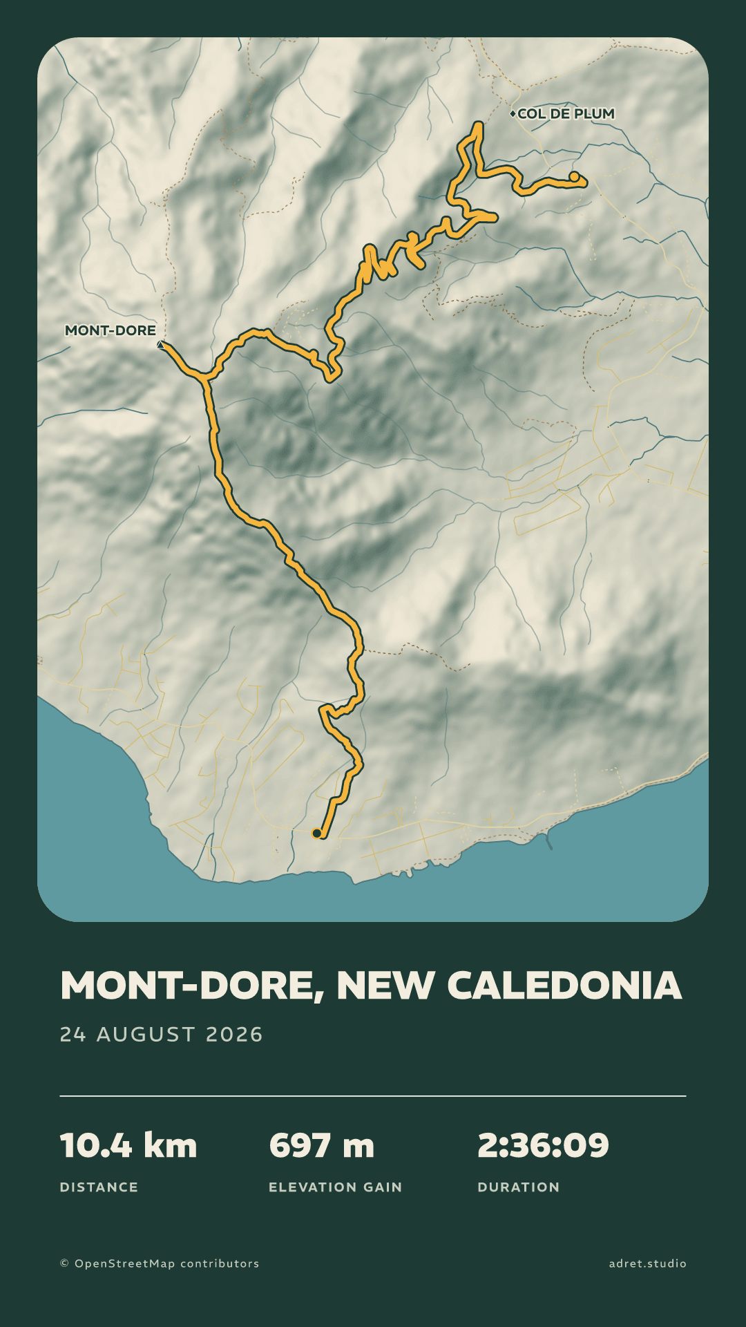
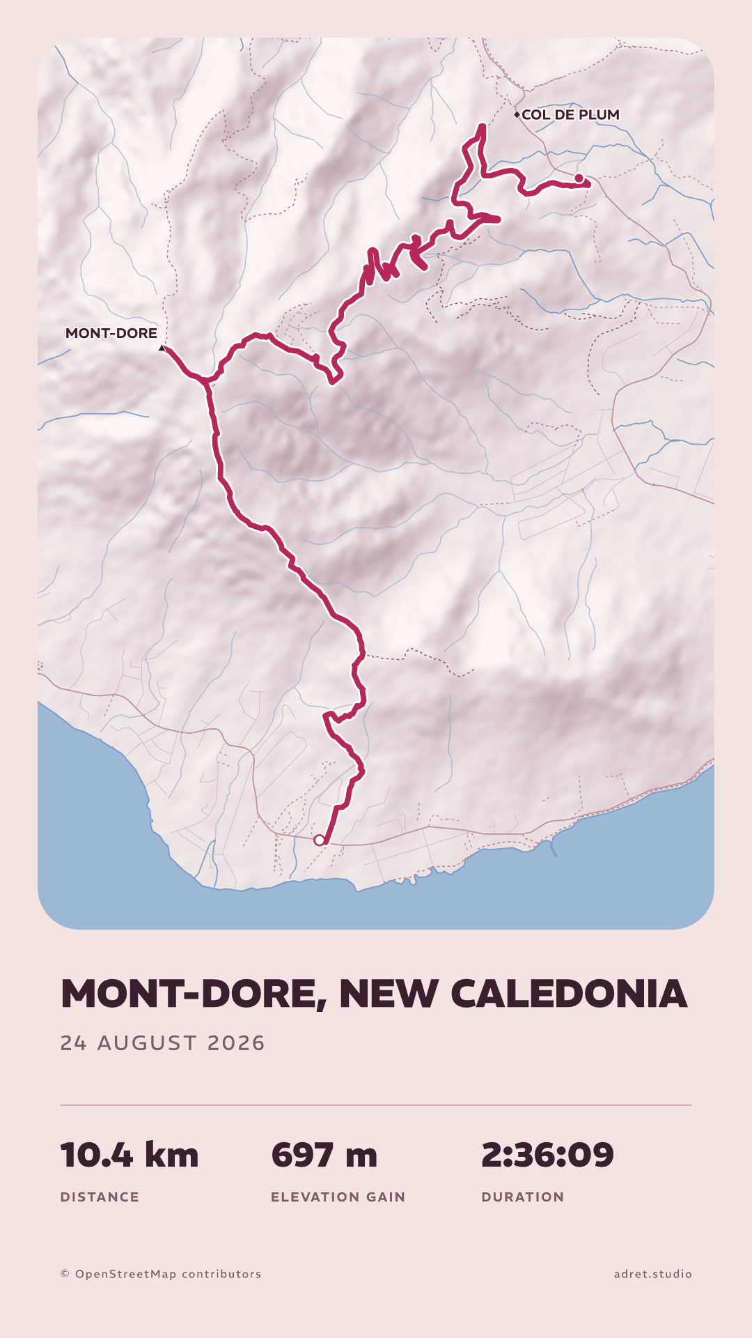
One walk, drawn in three styles. Adret and Classic are free. Neon comes with Adret Pro. The first one draws itself the way Adret Pro’s film does: nine seconds, for a story or a post.
Three taps.
From the activity you already recorded to an image you would actually put on a wall.
- 01
Record it
Any watch, any head unit, any app. If it exports the activity, it works.
- 02
Upload the track
A file, not an account. No platform to connect, nothing that breaks the day one of them changes its mind.
- 03
Take the poster
Share it the same evening as a story or a post, with no watermark. With Adret Pro, take the 300 dpi file to a printer, or share it as a film of the route drawing itself.
Your track, your stats, your name on it.
Fully customisable. The style is yours: everything can be changed, and every change is kept as you make it.
Every colour, from the track down to the background, each with its own opacity.
Adret Pro, for the next one.
The first poster is free. Adret Pro is for the wall and for the screen in motion: a file to print at 300 dpi, and a 9-second film of your route drawing itself. The rest of the art direction comes with it.
PrintPro
On the wall.
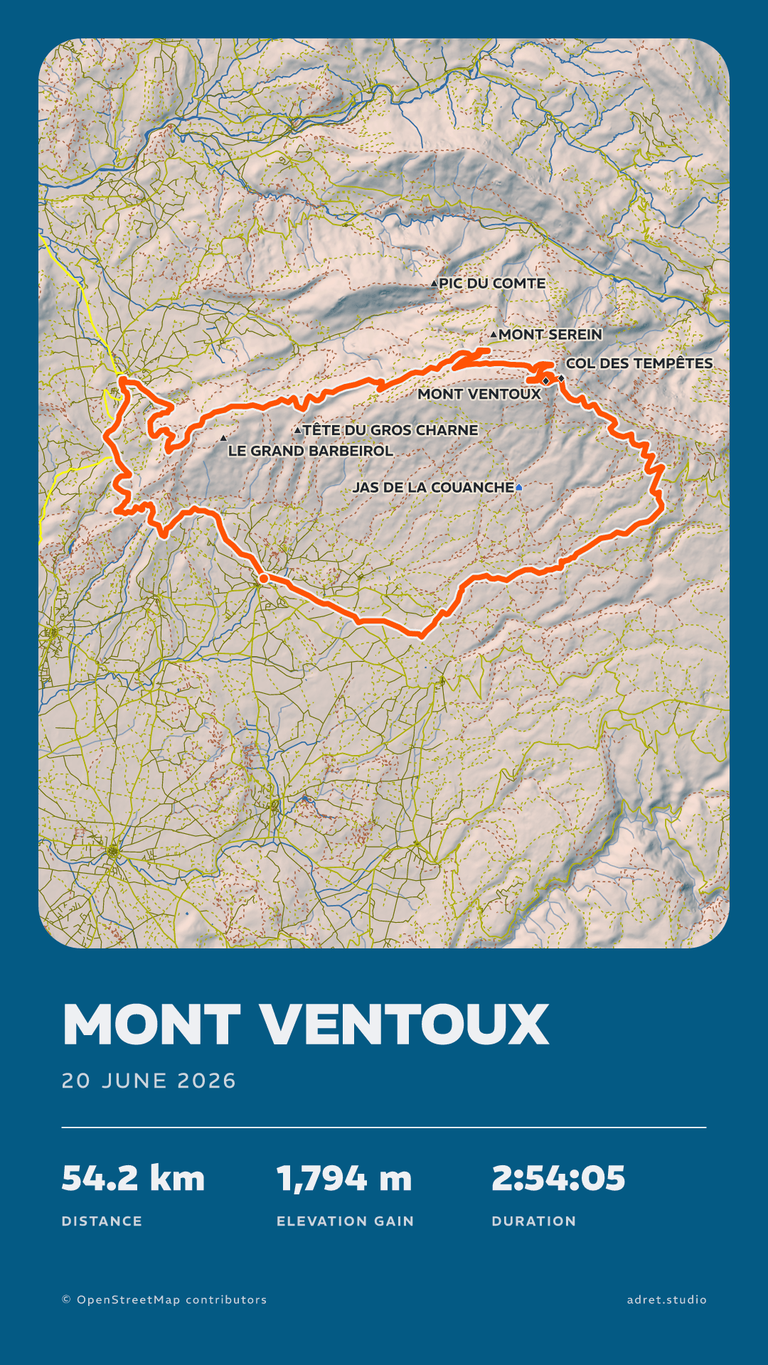
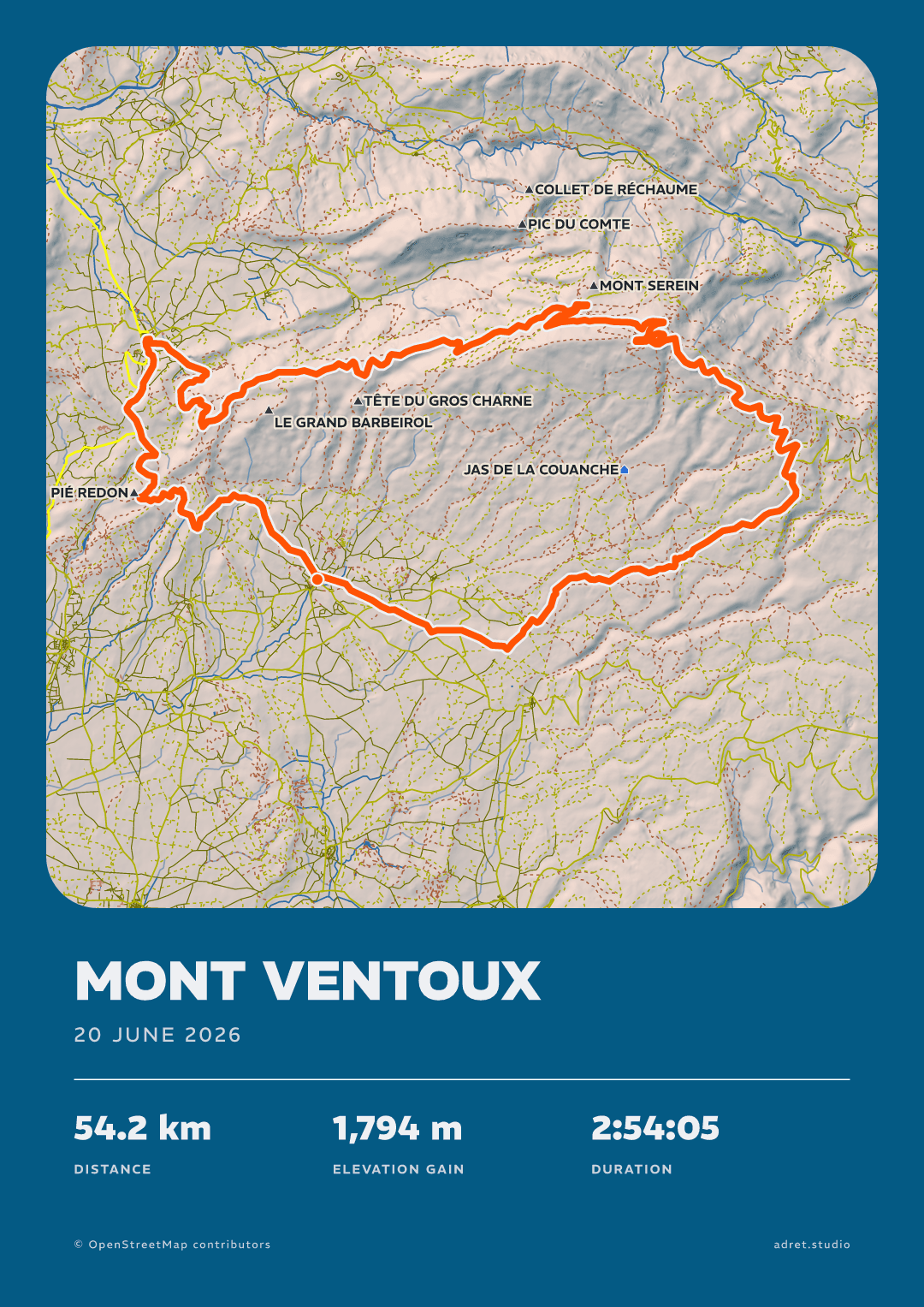
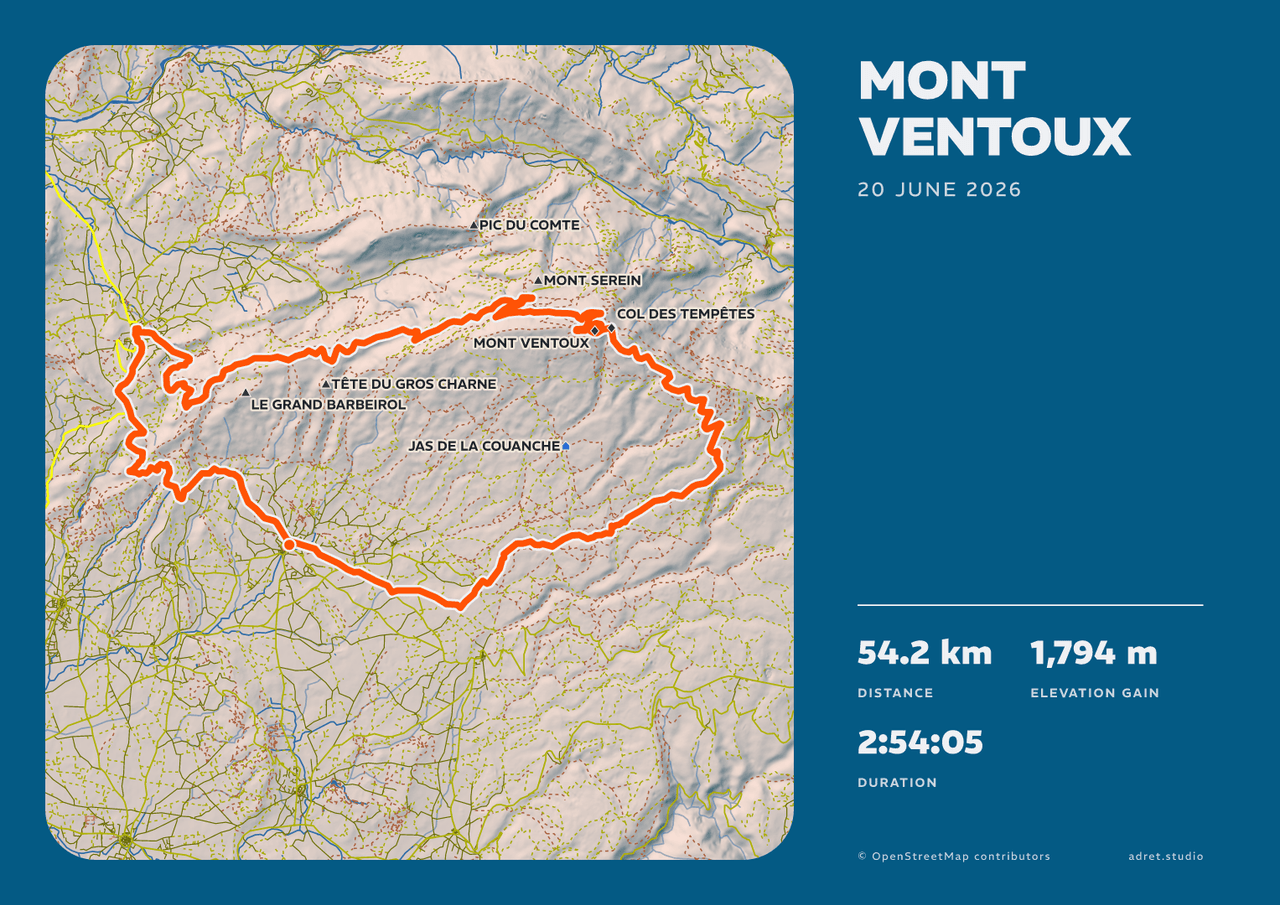
A3 or 30×40 cm, portrait or landscape, at 300 dpi: a file any printer takes. Here the same Ventoux both ways.
FilmPro
Nine seconds, drawing itself.
Tap “Share as a film”: the route draws itself, the map arrives under it, the poster lands. A story or a post, made in a minute or two, with a notification when it is ready.
Adret Pro also moves the sun, opens every typeface, draws the route’s elevation, saves the style you built, and covers long and multi-day routes.
Fair questions.
- The four tabs along the bottom are what a poster is made of: Styles, Page, Map and Terrain. Above them, each tab has its own row of entries: tapping one opens its controls over the poster, and tapping it again puts them away.
- The poster itself is a way in: tap the title, the date or the stats and the panel that sets them opens.
- Nothing has to be saved. Every change is written as you make it, and Undo takes the last one back.
You did it. Now keep it.
Adret is on iPhone, iPad and Android. Bring a track, leave with a poster: free to try, no account, no watermark.
On a computer? Scan to open Adret on your phone.